


Log in
PRECISE DATA
High-accuracy drone surveys deliver reliable mapping for your projects.


PRECISE AERIAL MAPPING
MINING DATA INSIGHTS
CONSTRUCTION SURVEY EXCELLENCE
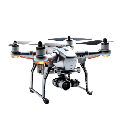
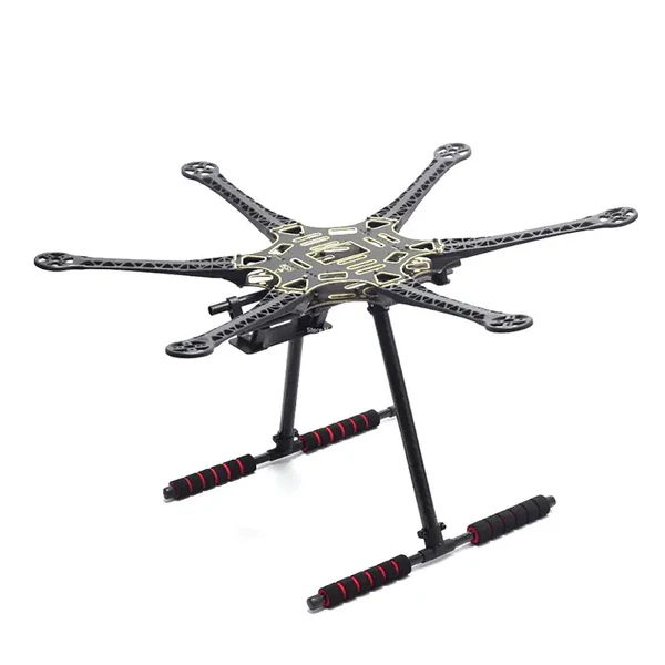
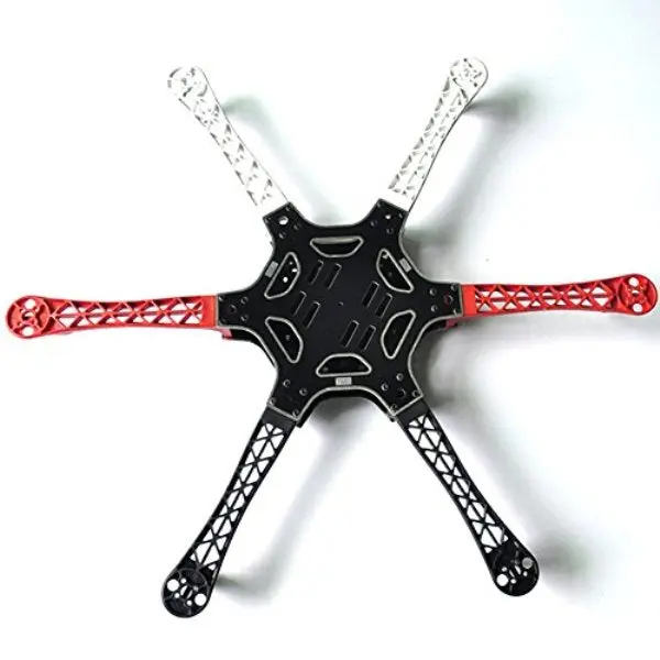
ADVANCED DRONE TECHNOLOGY
PRECISE AERIAL MAPPING
MINING DATA INSIGHTS
CONSTRUCTION SURVEY EXCELLENCE
ADVANCED DRONE TECHNOLOGY
PRECISE AERIAL MAPPING
MINING DATA INSIGHTS
CONSTRUCTION SURVEY EXCELLENCE
ADVANCED DRONE TECHNOLOGY
Leading the Future of Drone Survey & Mapping
We are at the forefront of innovation, transforming how industries approach survey and mapping tasks. We specialize in providing cutting-edge drone survey and mapping services that empower businesses with high-quality data, precision, and efficiency.
Our advanced drone technology, paired with experienced professionals, ensures that you receive accurate, reliable, and actionable insights for your projects.
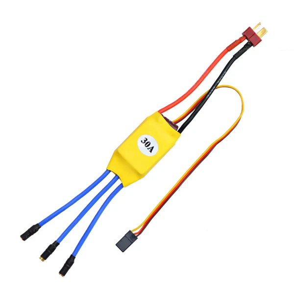
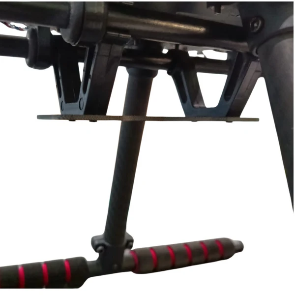
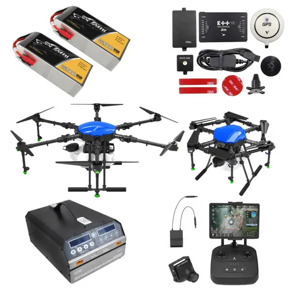
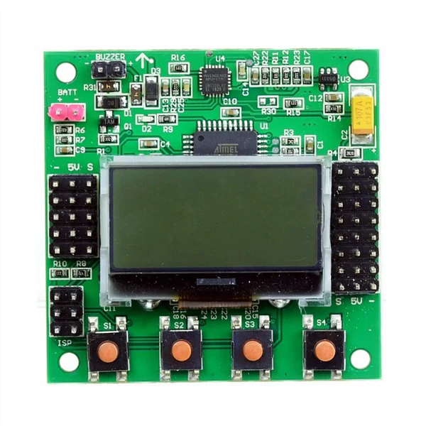
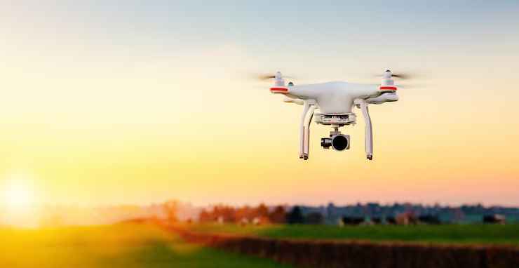
We use the latest drone platforms, including fixed-wing, multi-rotor, and hybrid drones equipped with high-resolution RGB cameras, LiDAR, thermal sensors, and multispectral imaging to capture detailed, accurate data for every project.
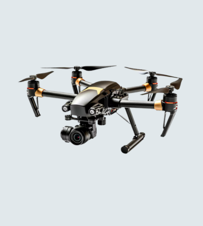
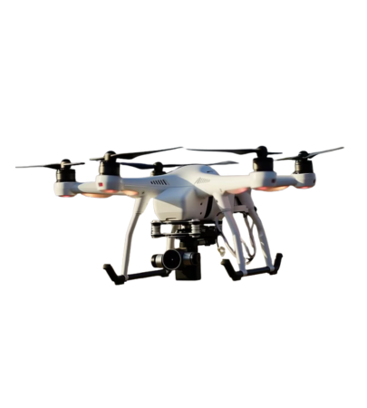
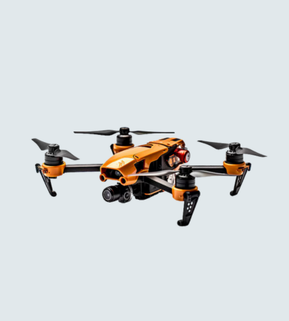
Shop innovative drones and mapping tools for precise, efficient surveys.
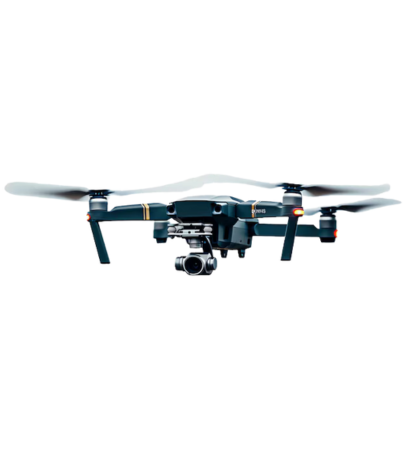
Trusted drone survey solutions delivering precision and results for clients.
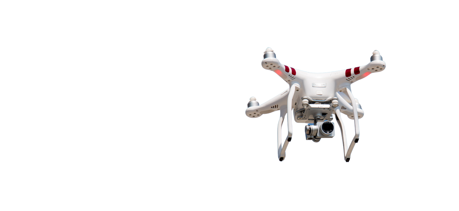
Explore advanced drones delivering precision mapping for your industry projects.
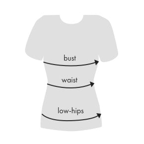
| Size | US | Bust | Waist | Low Hip |
|---|---|---|---|---|
| XS | 2 | 32 | 24 - 25 | 33 - 34 |
| S | 4 | 34 - 35 | 26 - 27 | 35 - 26 |
| M | 6 | 36 - 37 | 28 - 29 | 38 - 40 |
| L | 8 | 38 - 29 | 30 - 31 | 42 - 44 |
| XL | 10 | 40 - 41 | 32 - 33 | 45 - 47 |
| XXL | 12 | 42 - 43 | 34 - 35 | 48 - 50 |
Measure around the fullest part of your bust.
Measure around the narrowest part of your torso.
With your feet together measure around the fullest part of your hips/rear.